Shopping Cart
Corning / Payloads

Corning microHSI 410 SHARK Hyperspectral Sensor for UAV Drones

Out of stock

SKU: CORN-SHARK-HYPER-CAM
Weight: 6.0 kg

Email us at sales@riseabove.com.au or call us on +61 2 8417 3151 to purchase this product.


Special-Order: Lead time is between 3-6 weeks


Corning Hyperspectral

Corning Hyperspectral Imaging provides hyperspectral sensors and full hyperspectral systems for all applications including precision agriculture, industrial, environmental monitoring, mining, and mineralogy.

Corning’s microHSI™ family of hyperspectral sensors and systems combine the lowest size, weight and power (SWaP) in the industry with uncompromising performance, enabling deployment for challenging applications in limited payload and/or size constrained environments.


A few of the 410 SHARK’s innovative features include:

- First complete, coherent HSI sensor system designed specifically for small UAS/UAV drones


- Web interface for system management and control


- Flight planning and execution software enables preprogramming of image collection plan 


- Automated waypoint operation, frame rate, binning, selectable image recording options


- Operating and maintenance documentation


- API interface (upon request)


- Designed for minimum 30 minute operating/recording time.


- Consistent with performance of most small UAS


- Hot-swap battery optional; larger battery available


- For more effective data management, the user can choose to collect the entire 155 band hyperspectral image cube, or only the spectral bands needed for a specific mission or application.


- Digital Elevation Maps (DEM) can be loaded into the system pre-flight for the area to be imaged to improve image georegistration during post-processing.


System includes:


- visNIR microHSI™ 410 sensor

- Lens

- GPS/Inertial navigation system (INS)

- Microprocessor control

- Data acquisition and storage


- Dimensions: 136.4 x 87.4 x 70.4mm (with lens)  / 95.8 x 87.4 x 70.4mm  (without lens)

- Weight: 730 grams


The 410 SHARK is the lowest cost integrated airborne hyperspectral imaging system on the market today. 


Hyperspectral vs. Multispectral Imaging Technology
 

  • Hyperspectral imagers cover many dozens to hundreds of spectral bands contiguously
  • Multispectral imagers cover a selected set of bands non-contiguously
    • Spectral information critical for characterization, research and development of specific applications may be missing.
    • Number of spectral bands is insufficient to address multitude of developed and proven applications and indices.


Why Hyperspectral Over Multispectral for Precision Agriculture?
 

  • Agricultural market demand for hyperspectral sensor systems is growing to address a growing catalog of vegetation indices used for vegetation/crop analysis and diagnostics.
    • There are currently over proven 65 vegetation indices, and growing 
  • New crop specific, application specific indices are being developed and introduced each year.
  • Multispectral sensor systems can utilize only a small subset of indices, and cannot take advantage of new indices as they are introduced.
  • Hyperspectral sensors enable the research and development of new vegetation indices – multispectral sensors do not.


Corning MicroHSI 410 Shark - Use Cases

Crop Growth and Health Assessment/Management

Enables the evaluation of vegetation stress, often before it is visible to the humawith other sensors.


Enables the visualization of change in crop growth and health, and yield prediction throughout the growing season.


Data products: NDVI reNDVI, Senesis and dozens of other indices


Olive Orchard – Zamora, CA

In less than 48 hours…

  • The microHSI™ 410 SHARK and miniature UAS were integrated, tested and flown, and high quality geo-referenced data sets were produced.
  • Entire system weighed less than 3.7kg including payload and battery


Nitrogen Fertilization Recommendation


NASA ROSES Program

  • Corning visNIR microHSI Sensor/System was flown over shallow reef, sea grass in Florida Keys for climate change assessment study
  • Platform: rotary wing UAV
  • Data extracted immediately after flight for processing 
  • System operated without interruptions during 2 week campaign
  • NASA Group Achievement Award - 2014

Featured content

DJI Goggles Integra vs DJI Goggles 2: Digital FPV goes head to head


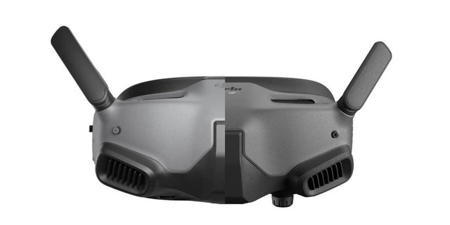
DJI's latest FPV Goggles, DJI Goggles Integra replace the still popular and available DJI Goggles 2 adding a new feature,...

Mini 2 SE vs DJI Mini 2 & DJI Mini SE: differences and changes


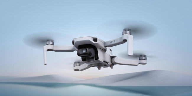
DJI recently released the DJI Mini 2 SE, its second-generation mini SE drone on the market. With DJI having a number of...

2022 Christmas buying guide: drones to put under the tree


Christmas is nearing and it's time to start looking the perfecto drone to buy friends or family, especially with increase in delivery times and...